We deliver nationwide aerial solutions for the AEC industry. Our pilots are FAA certified and operate above the minimum required governmental standards. We are passionate about going above and beyond with our products and services, and in that spirit your laser scanning project may qualify for our base drone deliverable package at no additional costs.
Signing up Spatial Acuity for industry best laser scanning and as-builts may land you our base drone package at no additional cost. Within the base package, the following products are available:
Once in contact with our team, we will determine the FAA airspace constraints at your project location. A Spatial Acuity team member can guide you through the particulars of your project’s federally controlled airspace. We will be looking for proximity to existing airports as well as any TFR’s (Temporary Flight Restrictions) issued by the federal government. It is important to understand that airspace is governed by the Federal Aviation Administration, and not state and local authorities. However, certain urban or otherwise sensitive areas benefit strongly from coordinating with local authorities regarding drone operations.
Once all airspace requirements and overall eligibility has been confirmed, we then prepare a detailed flight plan. The flight plan may be developed manually or through the use of autonomous flight planning software. Weather will be evaluated and the field time scheduled.
Up to two members of the Spatial Acuity team may be involved on flight day. One PIC (Pilot in Command), and a second spotter. If ground control is required, control points and aerial targets shall be placed. Once all parties are informed, the flight plan will be executed and all data collected.
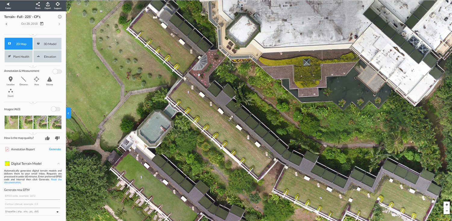
Upon return to the office, data will be processed, and all deliverables distributed through our online system. Turnaround time for drone deliverables is typically measured in days, as opposed to weeks.
The Spatial Acuity experience gives you: